Larapinta Trail west to east

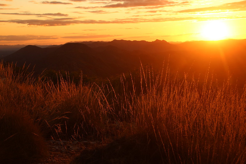
The Larapinta Trail is one of Australia's most spectacular, rugged and unique hiking experiences. The trail runs for 223km from Alice Springs to Redbank Gorge and Mount Sonder. We will be completing the hike in reverse, starting day one of the hike at Redbank Gorge and walking back to finish in Alice Springs. This hike has a mix of gradings and terrain from moderate to difficult, grades 3 and 4 explained here;
GRADE 3 Suitable for most ages and fitness levels. Some bushwalking experience recommended. Track may have short steep hill sections, a rough surface and many steps.
GRADE 4 Bushwalking experience recommended. Tracks may be long, rough and very steep. Directional signage may be limited.
The Larapinta Trail is not to be underestimated, hikers will need to have experience with, and a good understanding of how multi day hikes work. You will be fully responsible for carrying all your own belongings, food and water. Some sections require dry camping where you will need to be able to carry 6 litres of water on top of your normal gear, food and equipment. Weather can vary up to the mid 30s during the day and down to -5 celcius at night. Generally weather in August has an average temperature of 23 degrees C during the day and 5 degrees C at night, but be prepared for extremes.
We have three food drops organised throughout the trek so the most food you need to carry at one time will be for 6 days. A high level of preparedness is needed for this hike. You are responsible for getting yourself to Alice Springs, booking and paying for your walking fees, camping fees, NT Parks Pass, food drops, transport, and privately owned camping sites. This hike is taking place over 16 days, but it is possible for you to join us for a section or sections of the hike. Please thoroughly research this hike at;
Larapinta Trail | NT.GOV.AU for general information plus to book your walking fees, camping fees & NT Parks Pass here.
Standley Chasm | Northern Territory | Australia Private campsite to book seperately for night 12, 25/08/23.
100% Adventure - Adventure Travel, Hiking, Travel Service (100adventure.com.au) Transport to Redbank Gorge and food drops at Ormiston gorge, Serpentine Gorge carpark and Standley Chasm.
Diplomat Hotel Alice Springs - Guest Reservations This is the hotel I am staying in and will be collected from, you can also stay at the youth hostel if preferred. 100% Adventure are collecting us at 7:15am on Monday the 14th of August to drop us at Redbank Gorge. Food drop boxes will be dropped at the hotel the day before for us to pack our food and supplies into.
Planned hike - booked campsites that you will also need to book. (Itinerary may change on the actual day for various reasons)
Day 1) 14 August. Redbank Gorge - (dropped off at 10:30am) hike Mt Sonder and Redbank Gorge - 15.8km 6 hrs, moderate to difficult.
Day 2) 15 August. Hilltop Lookout - hike Redbank Gorge to Hilltop Lookout - 15.8km, 6 hrs, moderate to difficult. DRY camp, top up water at Rocky Bar Gap.
Day 3) 16 August. George creek - hike Hilltop Lookout to George creek - 18.4km, 7.5 hrs, moderate to difficult. DRY camp, top up water at Finke River campsite. (Chances are high that we will continue on and camp at Ormiston Gorge instead.)
Day 4) 17 August. Mt Giles - hike into Ormiston Gorge, do the pound walk, pick up FOOD DROP 1 and head onto Mt Giles. 7km ormiston pound walk 3-4hrs, 14km, 5.5hrs to Mt Giles, difficult. DRY CAMP DOUBLE WATER CARRY.
Day 5) 18 August. Serpentine Chalet Dam - Mt Giles to Serpentine Chalet Dam - 15.5km, 6.5hrs. Difficult. Optional side trip to the Ochre Pits, 3.9km, 1 hour each way.
Day 6) 19 August. Serpentine Gorge Carpark - Serpentine Chalet Dam to Serpentine Gorge Carpark, FOOD DROP 2 - 13km, 5.5hrs, moderate to difficult.
Day 7) 20 August. Ellery Creek North - Serpentine Gorge Carpark to Ellery Creek North - 12.8km, 5hrs, moderate to difficult.
Day 8) 21 August. Rocky Gully - Ellery Creek North to Rocky Gully - 13.6km, 5hrs, moderate to difficult.
Day 9) 22 August. Hugh Gorge - Rocky Gully to Hugh Gorge - 15.3km, 5.5hrs, moderate to difficult.
Day 10) 23 August. Fringe Lily Creek - Hugh Gorge to Fringe Lily - 7.3km, 4.5hrs, difficult. DRY CAMP DOUBLE WATER CARRY.
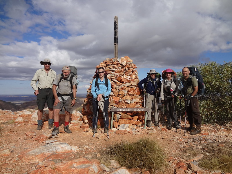
Day 11) 24 August. Brinkley Bluff - Fringe Lily to Brinkley Bluff - 15.6km, 8.5hrs, difficult. DRY CAMP double water carry, top up water at Section 4/5 Junction.
Day 12) 25 August. Standley Chasm - Brinkley Bluff to Standley Chasm - 9.9km, 5hrs, difficult. Food drop 3.
Day 13) 26 August. Jay Creek - Standley Chasm to Jay Creek - 13.6km, 5.5hrs, moderate to difficult.
Day 14) 27 August. Simpsons Gap - Jay Creek to Simpsons Gap - 26.2km, 8hrs, moderate to difficult.
Day 15) 28 August. Wallaby Gap - Simpsons Gap to Wallaby Gap - 10.8km, 4hrs, moderate to difficult.
Day 16) 29 August. Alice Springs - Wallaby Gap to Alice Springs Telegraph Station - 13.9km, 5hrs, moderate to difficult.
Overnight Event Packing list
Current Medical Information Form LOGIN FIRST and then it can be FOUND ON THE WEBSITE HERE
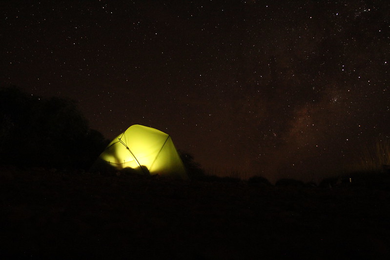
- Tent (sharing sections of the tent with a partner is an option)
- Tent footprint (optional but recommended with rocks and spinifex)
- Sleeping Bag rated to -5 comfort level minimum
- Bag Liner
- Mattress
- Pillow
- Bed Clothing (suggest using your thermals for bedding)
- Thermals - top and bottom
- Second layer - top and bottom
- Spare dry socks and spare undies
- Keep clothing in a water tight bag - zip lock - dry bags etc..
- Wet Weather / Cold
- Rain jacket
- Down jacket
- Fleece jacket
- Warm Gloves and Water Proof Over Glove plus a beanie
- Suitable walk hat
- Boots in good condition - the Larapinta is known for destroying footwear!
- Fly net
- Essential toiletries
- Tooth Brush and paste
- Small hiking towel and facecloth, preferably reusable
- Any medication (please inform leader if necessary Allergies etc)
- Personal first aid
- Snake bandage
- Sunscreen
- Insect repellant
- Whistle
- Space blanket
- Head torch and batteries/charger
- Charged powerbank plus charging cords
- Water to drink and prepare meal (some locations and walks have water on site or en route)
- Leader will inform the group re water supply each day
- Tablets or filter for water treatment (be safe rather than get a bug) (water purification tablets)
- Hydrolyte tablets or powder
- Toilet paper and trowl to dig appropiate hole.
- For females a pstyle and or bushcloth is highly recommended, otherwise please carry used wet toilet paper in a ziplock bag to dispose of in the toilets at trailhead campsites.
- Hand sanitiser
- Dehydrated food for weight considerations
- 3 Meals, plus snacks, per day. No skimping on meals, this is not the place for dieting. Also try not to go overboard as you will be carrying the weight if you don't eat it. Think low weight, high energy foods.
- Stove and gas (another item that can be shared with a partner)
- Lighter or matches
- Plate/bowl and cuttlery
- Cup for warm drinks, soups etc
- Hiking poles - highly recommended
- Water / Camp shoes - sandals or thongs
- EXTRA ITEMS
Fully charged and credit loaded up phone
Camera
THE LEADER MUST TAKE A RESCUE BEACON
Multi Day Walks
Preparation and planning for multi day walks can turn into a monumental exercise. There is no substitute for working from a list. The bottom line is to ensure that nothing crucially important is forgotten and secondly that you can actually lift the pack off the ground and attach it to your body. Thirdly its a good idea to check out if you can walk with this encumbrance!
Your leader may provide you with a detailed list of equipment and food you will require appropriate to the event being undertaken.
 Sharon OToole
  Carolyn Jenner